Breaking the Chains is a collaboration between the University of Dundee Museums and the city libraries in Leisure & Culture Dundee, with funding and additional support from Dundee City Council. It is also one of the outputs of the on-going Woven Together project, a wider community-based project to research and promote the history of people of colour in Dundee, which was launched in 2021 by the University of Dundee Museums in collaboration with the Abertay Historical Society and Dundee City Council.
Breaking the Chains is an illustrated map that provides a walking trail of sites in the city centre revealing Dundee’s connections to transatlantic and American slavery. We wanted to find a way to make Dundonians more aware of the city’s history of connections to slavery, which many people are completely unaware of. Not only were there many wealthy slaveowners from Dundee, but a large part of the city’s economy in the early 19th century was based on the success of the linen industry, for which by far the largest markets were in the Caribbean and North and South America, mostly to clothe enslaved people working on plantations.
The success of our earlier Dundee Discoveries map provided a useful model and it was agreed that an illustrated map with an accompanying website would be the best way to engage both local people and visitors. Sites and topics were identified via a number of methods, including research already done by Woven Together volunteers, new research by Curator Matthew Jarron and Local History Librarian Erin Farley and new research also being undertaken at the time by Dr Cassandra Gooptar for the University of Dundee Founders Project. We also consulted with colleagues in the Abertay Historical Society, the University Archives, the City Archives and the McManus: Dundee’s Art Gallery & Museum as well as members of the University’s Black Atlantic Research Dundee group and other individual researchers.
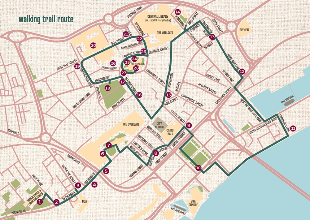
This provided a number of potential locations around the city, many of which were not within walking distance of the city centre. We therefore decided to create two maps – a city centre one that would contain the route of the walking tour to be printed on the map, and a wider city-wide one to be featured on the website. Originally a circular route was proposed but this proved unmanageable due to the spread of relevant locations so we decided to start the route at the University Tower Building and end at the McManus, thus representing the most prominent venues of the two main partner organisations. In some cases, the most appropriate location for a particular topic was too far away from other sites so alternatives had to be found that would enable us to tell the same stories. We were also keen to balance the deeply distressing stories of slavery with more positive references to Dundee’s contributions to the anti-slavery movement.
While we finalised the route and accompanying text, designer Dolina Mechan (a DJCAD Graphic Design alumna) began work on the layout, colour scheme and design motifs for the printed leaflet. Considerable thought was given to striking the right balance between reflecting the serious nature of the subject matter while also making it visually striking and appealing to make people want to pick it up.
Given the sensitive nature of the topic and the fact that we were referencing places and institutions that still exist, we contacted every venue and organisation features on the map in advance to let them know what we intended to say about them and request any feedback. Only one organisation objected to being mentioned, disputing that they had any links to slavery, but we were able to provide them with a copy of the original primary sources that provided proof that our information was accurate, which they then accepted.
The map was launched at the beginning of Black History Month in October 2022. It attracted considerable media coverage including BBC and STV news and both local and national newspapers.
So far, 7000 maps have been printed. These have been distributed to all of the city’s libraries, the University’s Tower Building, the VisitScotland iCentre and to over 50 Direct Distribution leaflet racks across the city. By the start of December, 2650 maps had already been picked up while the website at Dundee Slavery Trail | Leisure and Culture Dundee has had over 1000 views.
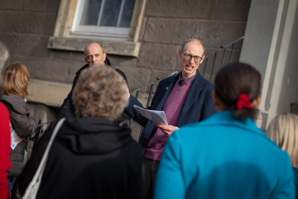
To help promote the map, University museum curator Matthew Jarron and Local History librarian Erin Farley led two guided walks in October, also promoted as part of Black History Month Scotland. Both of these were fully booked up within days of being advertised and we have had numerous requests to repeat them (which we will do in 2023). We also recently learned that one of the regional MSPs is going to table a motion in the Scottish Parliament congratulating us on having undertaken this important work, which we hope will make people more aware of this hidden aspect of the city’s history.
No compensation was paid to Dundee addresses for loss of property (=enslaved people) on abolition of slavery according to the UCL website, unlike other Scottish cities. Who were the implicated enslavers? ( I haven’t got hold of a map yet)
Thanks for this comment. Curator Matthew Jarron says: “Yes, a search for Dundee addresses on the UCL Slavery Database gives very few names, but this disguises the fact that most of our wealthy slaveowners lived not in the town but in nearby estates in Angus or Perthshire, or had second homes in Edinburgh or London which they gave as their main address. So far we’ve identified over 20 individuals or families that owned enslaved people but there are no doubt many more that we’ve not yet located.”