Join the University Archives as Kenneth Baxter takes us on a tour of Dundee in 1776.
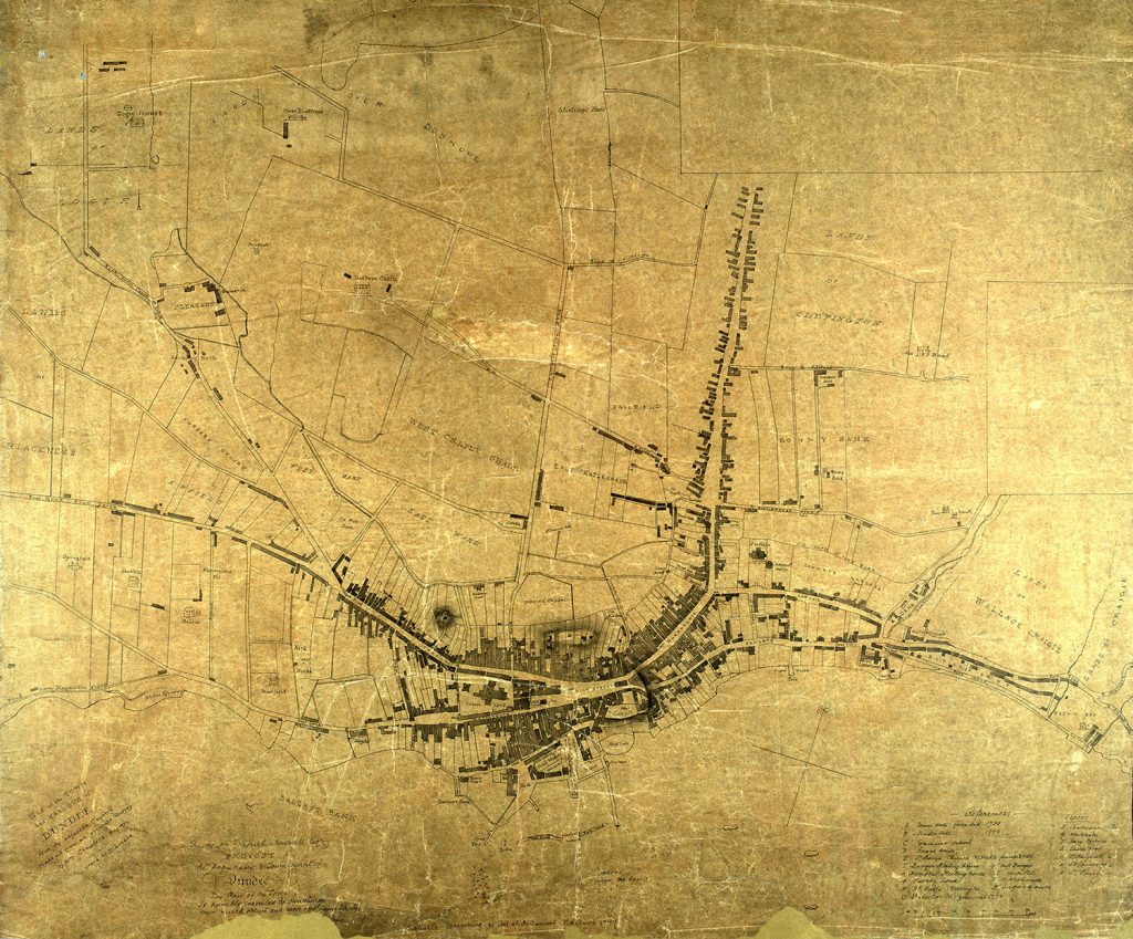
Using Crawford’s plan of Dundee Kenneth explains how Dundee has changed over time. There are several familiar parts of the map including the Nethergate and Overgate (albeit they look very different today)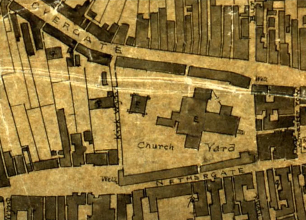
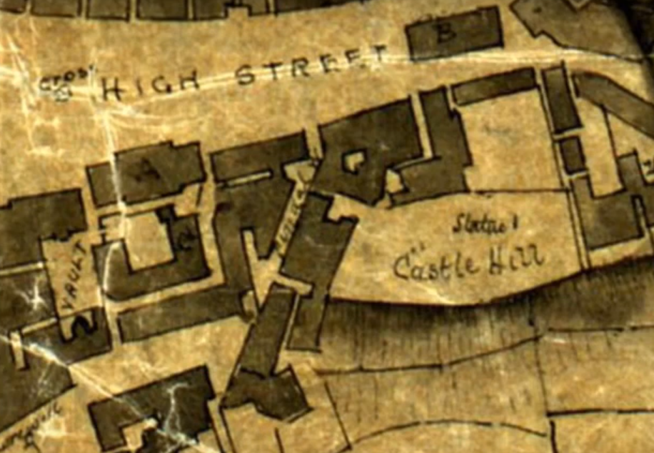
There are also many buildings which have since been destroyed – do you know what A and B on this map are? B used to stand in front of what was the Clydesdale Bank.
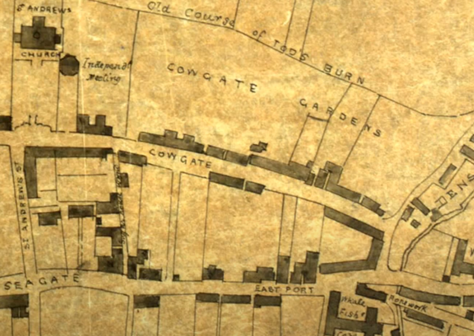
Can you spot the Glasite Church Hall and the beginnings of Dens Works?
To find out more watch Kenneth’s video at