Dr Kenneth Baxter examines a map from the University of Dundee Archive Services belonging to Peter Carmichael. Carmichael was a notable figure in Dundee, in the second half of the 19th century he was manager of Dens Works (owned by Baxter Brothers) and was responsible for many of the technological improvements in the textile industry at the time.
Carmichael’s map was drawn from the Ordnance Survey plan of 1858 with modifications in the 1860s and is fascinating in what it shows us about Dundee at the time, with many recognisable features and others that have disappeared. 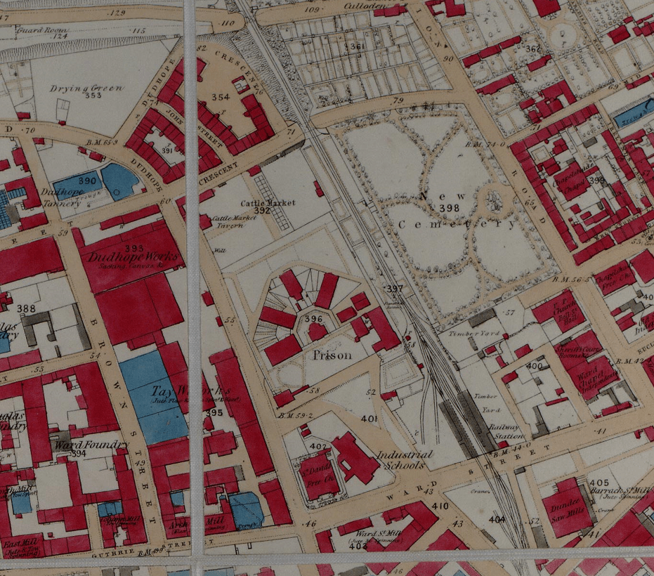
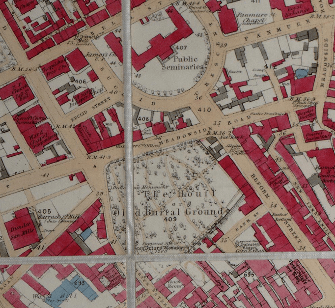
The prison and other features in the plan above are no longer here but the Howff and Reform Street (below) are still very much the same.
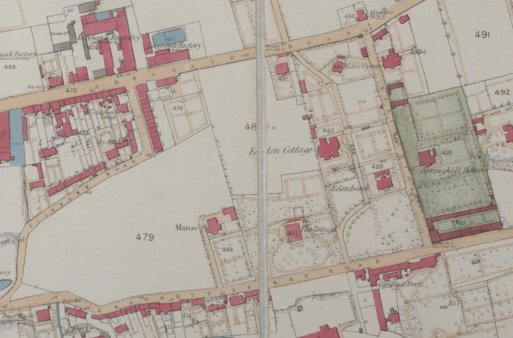
The area to the east of Dundee is particularly interesting:
Watch Kenneth’s video which explores more of this beautiful map on the Archives’ YouTube channel: